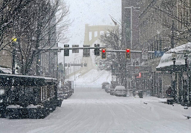
Snow is returning Monday to Western Pennsylvania.
And local meteorologists say it’s still completely normal at this time of year. Sometimes it snows in April.
Jeff Verszyla, meteorologist at WTAE-TV, said Pittsburgh receives on average about 1 inch of snow in April.
“So seeing a few flakes in the area is entirely normal, especially the first half of the month,” he said.
A cold front will move through the Western Pennsylvania region late Monday afternoon through Monday evening, according to Jason Frazier, meteorologist at the National Weather Service in Moon. It will pass through the Pittsburgh metro area between 7-8 p.m., he said.
With the front will come colder temperatures and the chance for precipitation, Frazier said.
“That precipitation will initially fall as rain, but because of (the) cold, it’ll change over to snow,” he said.
The snow will most likely end briefly around 10 p.m., according to Frazier.
“Then, we’ll get some light snow showers on and off the rest of the night until Tuesday morning,” he said.
Verszyla said the chance of snow flurries will be isolated to certain neighborhoods closer to the I-80 corridor — north of Butler, New Castle and Kittanning. Most areas of the region will not see snow at all, he said.
“(There) will be a small window to see a few passing showers,” he said.
Because of how warm temperatures have been prior to the arrival of this cold front, Frazier said it’s unlikely any snow will stick. Accumulation will not be much more than “a trace” on grassy or elevated surfaces, he said.
“At most, (we’ll) see a bit of dusting,” Frazier said. “Even if we get some accumulations, we’re not expecting any sort of impact — other than dealing with light fluffy things falling out of the sky again.”
The northwest region of Pennsylvania could see 1-2 inches, however, he said.
A chilly week
Verszyla said this week will remain “chilly” overall, as temperatures are predicted to be below average.
Frazier said temperatures Monday night will fall into the mid-20s, with a low of about 26 degrees.
Tuesday will be the coldest day, with highs only reaching the low 40s, Verszyla said. Tuesday night’s low will be around 25 degrees, Frazier said, and most of Tuesday will remain dry.
“Things will dry out for everyone overnight with some sun returning tomorrow and Wednesday,” Verszyla said.
Temperatures will then gradually increase up to near 50 degrees on Wednesday and into the 50s to round out the week, according to Verszyla. They should be back up to normal by the weekend — and will stay that way into next week, he said.
However, Frazier said the region can’t rule out a snow flurry “here or there.”
Another round of precipitation is expected Wednesday night into Thursday, with more periods of rain from Thursday through this weekend, he said. It will be primarily rain, but with chilly temperatures at night, snow could be possible.
“Generally rain through the weekend,” Frazier said. “Not as much total accumulation with rain we had last weekend.”
The average high temperature for this time of year is 60 degrees in the region, according to Frazier. Temperatures this weekend will remain below that, he said.
Typical April
The coming wintry days are a “nice reminder” that spring can sometimes bring colder temperatures and snow, according to Frazier.
Frazier said this year it’s been a “rapid transition,” which could create the feeling of whiplash for Western Pennsylvanians — from warm and rainy to cold and snowy.
“It may feel unexpected,” he said. “Part of it is a lot of people are ready for the transition to summer kind of after a longer winter.”
The most the region has seen on April 7, according to historical data, is 1.3 inches of accumulated snow, Frazier said.
“It’s not unheard of at all to see snow fall or at least inch accumulation,” he said.
Western Pennsylvania won’t get out of the realm of snow possibility until May hits, he said.


