
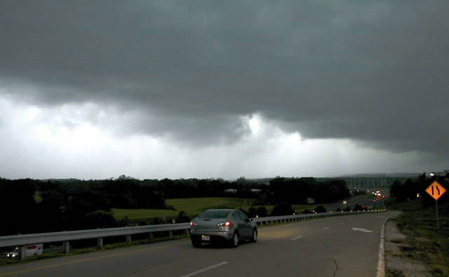
The afternoon rush hour could be dicey Thursday as several rounds of strong storms are expected to move through the Pittsburgh region, the National Weather Service said.
Meteorologists are calling for severe weather that could bring large hail, damaging winds and a 90% chance of precipitation.
There also is the chance for tornadoes.
The severe weather potential continues today as a cold front approaches late this afternoon/early this evening. Please remain weather aware! These thunderstorms may bring large hail, damaging winds, and perhaps even a few tornadoes to the region later. #PAwx #OHwx #WVwx #MDwx pic.twitter.com/8CsfOugpIo
— NWS Pittsburgh (@NWSPittsburgh) May 23, 2019
The Weather Service posted on social media a warning for hazardous weather in several Southwestern Pennsylvania counties, including Allegheny, Armstrong and Westmoreland.
Meteorologist Alicia Miller said thunderstorms could move through in as quickly as an hour but the more intense weather will come between 3 and 5 p.m.
While the tornado chance is low, it remains a threat for all of Western Pennsylvania, she said.
Forecasts call for the severe weather to move out by tomorrow, when sun is expected to return for a high of 75 degrees. Saturday brings a 50% chance of showers with a high of 80 degrees.


