
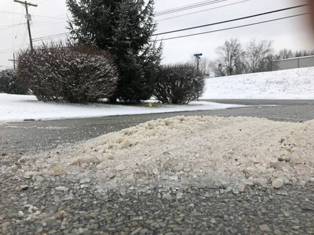
It wasn’t much snow — between a half-inch and an inch in most places — but it was enough to bring on hazardous road conditions across western Pennsylvania late Saturday night into Sunday morning.
“It’s been a fairly uniform snow across the area,” said National Weather Service meteorologist Lee Hendricks. “And the ground is still fairly warm, so it won’t take much for this snow to disappear.”
With temperatures hovering around freezing into the early part of the week, however, the winter weather has some more in store, Hendricks said.
“Today we’ll have a high creeping up around 30 degrees and dropping into the lower 20s tonight,” he said. “And it’s supposed to stay around freezing on Monday. We’ll finally get up above freezing on Tuesday.”
Hendricks said temperatures will get up around 40 degrees later in the week, but snow is back in forecast come Friday, with potential snow showers in the evening and a predicted high of 15 degrees on Christmas Eve.
“Things won’t look bad toward the middle of the week, but then it looks like things will start to deteriorate rapidly,” Hendricks said.
Emergency officials across the region were busy Sunday morning checking on drivers who’d slid around or off local roads, putting lane restrictions in place or closing some more heavily affected roads, but no major weather-related crashes had been reported as of 8:30 a.m.
Drivers can check 511pa.com or the 511PA Pittsburgh Twitter feed for the latest updates on affected roads.


