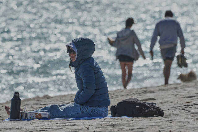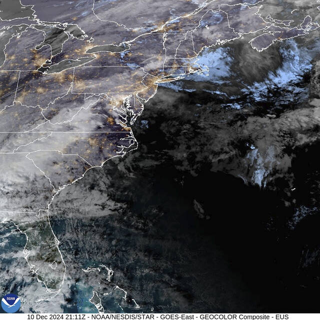
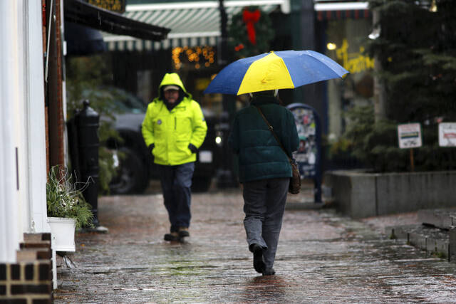

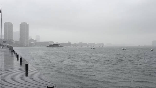


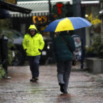


PORTLAND, Maine — The U.S. East Coast was beginning a whiplash-inducing stretch of weather on Wednesday that was rainy, windy and potentially dangerous, due in part to an atmospheric river and developing bomb cyclone.
Parts of Maine experienced freezing rain that caused vehicles to slide off roads followed by a deluge of rain and unseasonably high temperatures — and the prospect of damaging winds — all in the same day, said Derek Schroeter, a forecaster with the National Weather Service. Some schools were closed across New England.
Severe thunderstorms, winds and a few tornadoes are possible from the eastern Carolinas to southern New England, the weather service said. Isolated severe thunderstorms may occur southward into portions of Florida.
The heavy rain and fierce winds will last until Wednesday night, and flash flooding was a concern because of the deluge and melting snow, forecasters said. Utilities were also gearing up for potential power outages from damage caused by winds that could exceed 60 mph.
One of the key factors driving the weather is an atmospheric river, which is a long band of water vapor that can transport moisture from the tropics to more northern areas, said Schroeter, who’s based in Gray, Maine. New England was expected to bear the brunt as the storm tapped moisture from the Atlantic Ocean off the coast of the U.S. Southeast, and transported it to places like Maine, Schroeter said.
Related:
• Frigid temperatures in Pittsburgh area return following rainstorm later this weekForecasters also said the storm had the potential to include a process that meteorologists call bombogenesis, or a “bomb cyclone.” That is the rapid intensification of a cyclone in a short period of time, and it has the ability to bring severe rainfall.
“Is that what they’re calling it?” said Jen Roberts, co-owner of Onion River Outdoors sporting goods store in Montpelier, Vermont. She said they had snow for about a five-day stretch, as well as a lot of customers coming in for ski gear. “But, it looks like we’re going to lose a lot of it. But you know, this is New England. We know this is what happens.”
Alex Hobbs, 19, a Boston college student, hopes that the weather won’t interfere with her plans to return home to San Francisco soon.
“I’m a little worried about getting delays with heavy wind and rain, possibly snow,” she said Wednesday.
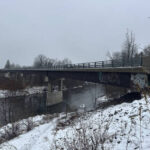
The storm began with combination of fog and light freezing rain on Tuesday night into early Wednesday. Ice accumulated and travel became treacherous in parts of New England. A tractor-trailer carrying a load of oranges went off the Maine Turnpike in New Gloucester; the road was so treacherous that the oranges couldn’t be removed until a day later.
Parts of the Northeast were preparing for bad weather.
In New Hampshire, the Mount Washington Avalanche Center issued a special bulletin Wednesday for the Presidential Range of mountains, which received significant snowfall over the last two weeks.
“Heavy rainfall could create dangerous and unpredictable avalanche conditions on steep snow-covered slopes,” it said, making for unsafe conditions on stream crossings, skiing and hiking trails and bridges.
A flood watch for Vermont runs from Wednesday afternoon to Thursday morning.
The city of Montpelier, Vermont, was advising residents to elevate items in basements and low areas that are prone to flooding. The city said Tuesday that it has been in contact with the National Weather Service and Vermont Dam Safety and “will be actively monitoring the river levels as this storm passes through.”
Ski resorts around the Northeast were preparing visitors for a potentially messy day on Wednesday. Stratton Mountain Resort, in southern Vermont, posted on its website that patrons “make sure to pack your Gore-Tex gear because it’s going to be a wet one.”